Map Creation Follow
Before you can use Meridian’s location services, you’ll need at least one map for your location in the Meridian Editor. To do this, send us a map image file for each map you want in your Meridian-powered app. The Meridian Maps team will convert your map file into a format that works well in both the Meridian Editor and your Meridian-powered app.
Please send your map as a high resolution PNG, PDF, or JPEG image file to maps@meridianapps.com. AutoCAD DWG files are also acceptable.
Only one map is granted for each Proof of Concept (POC) or Not for Resale (NFR) kit.
Mapping Best Practices
Our Maps team is experienced at converting many different types of maps files into aesthetically pleasing and useful maps for the Meridian-powered apps.
Our Maps team has identified three best practices that will expedite your map conversion and import process.
The Map Preserves Detail when Zoomed In
Meridian-powered apps show maps at different zoom levels. Before you send in your map file, make sure that your map lines look good at different zoom levels.
To do this, open the map file you’re planning on sending and zoom in on the map image until a single room fills the map. If the lines are still crisp, then your map will look good at all zoom levels in your Meridian-powered app.
If your map lines look fuzzy or pixelated when you’ve zoomed in to a single room, you’ll need a higher resolution map image file.
If you need help with this, please contact us for assistance.
Interior Decoration Details are Removed
Many maps include extra information, such as furniture and other interior decoration details. This extra information isn’t necessary and, in some cases, can slow down the map conversion and import process.
For best results, please submit a map of your floor plan with the extra interior detail removed or grayed out.
Visitor Inaccessible Areas are Clearly Marked
Your Meridian-powered app is intended for visitors to your location. In some cases, you may want to consider removing inaccessible areas from your map before submitting it.
Visitor inaccessible areas won’t appear in your Meridian-powered app at all.
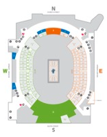
Examples of Clean Maps
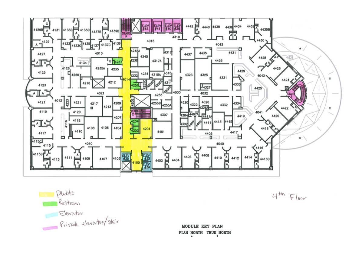
These are examples of clean maps that are easy to work with. There are clean, visible lines and very little extra detail.
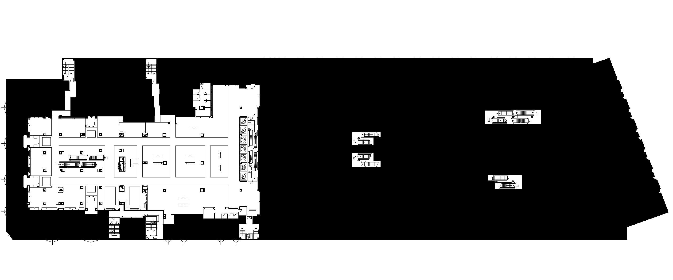
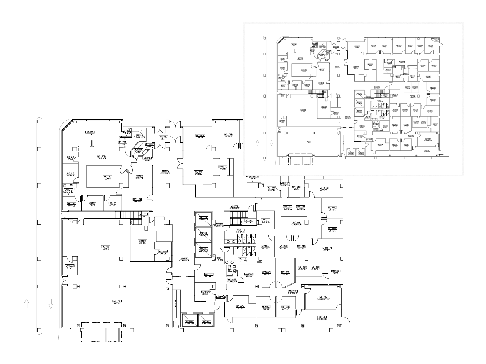
Examples of Maps Needing Revision
Here are examples of maps that needed revision before our Maps team could prepare them for conversion and import.
Hard to Read Maps
This map is hard to read because there are extra vertical and horizontal lines. It also looks as though the image was created from a photocopy of a printed map.
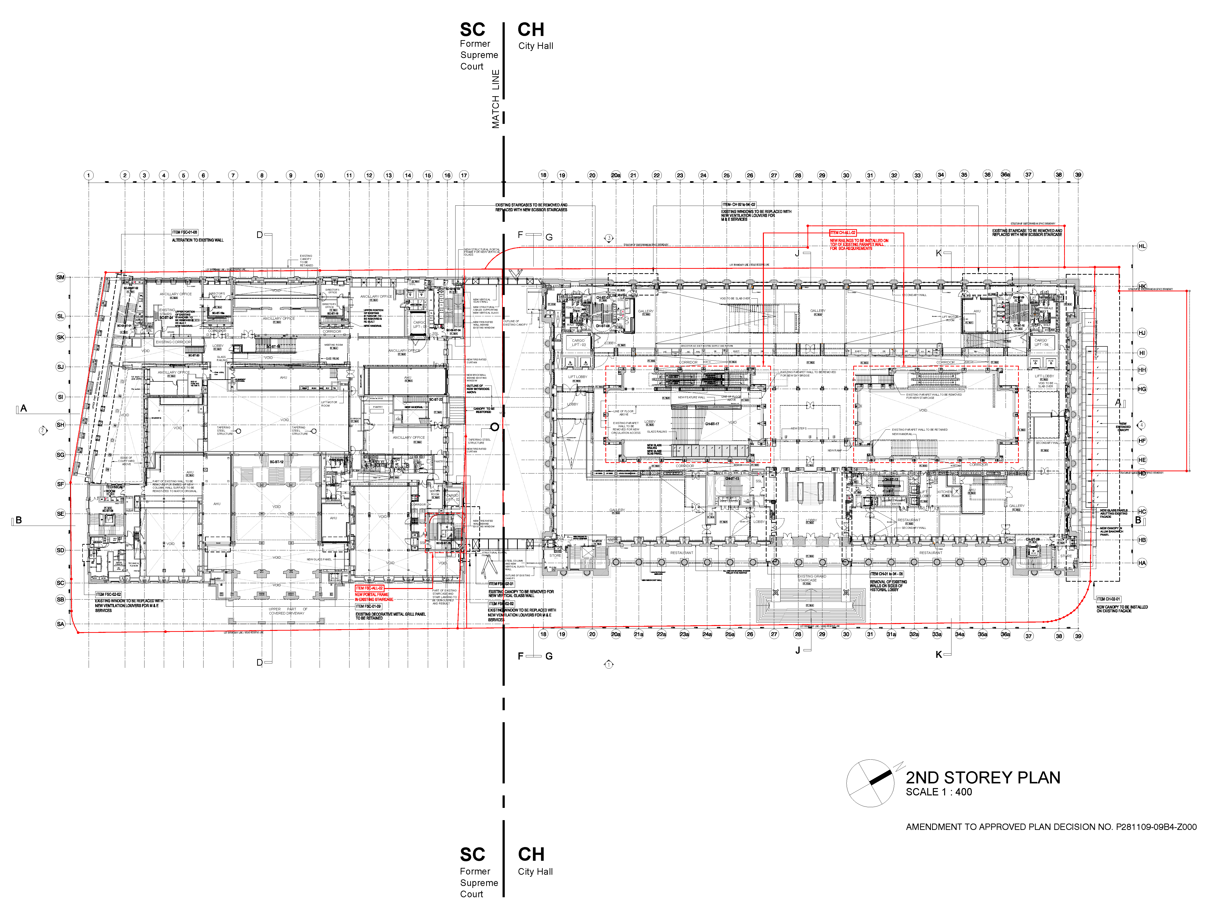
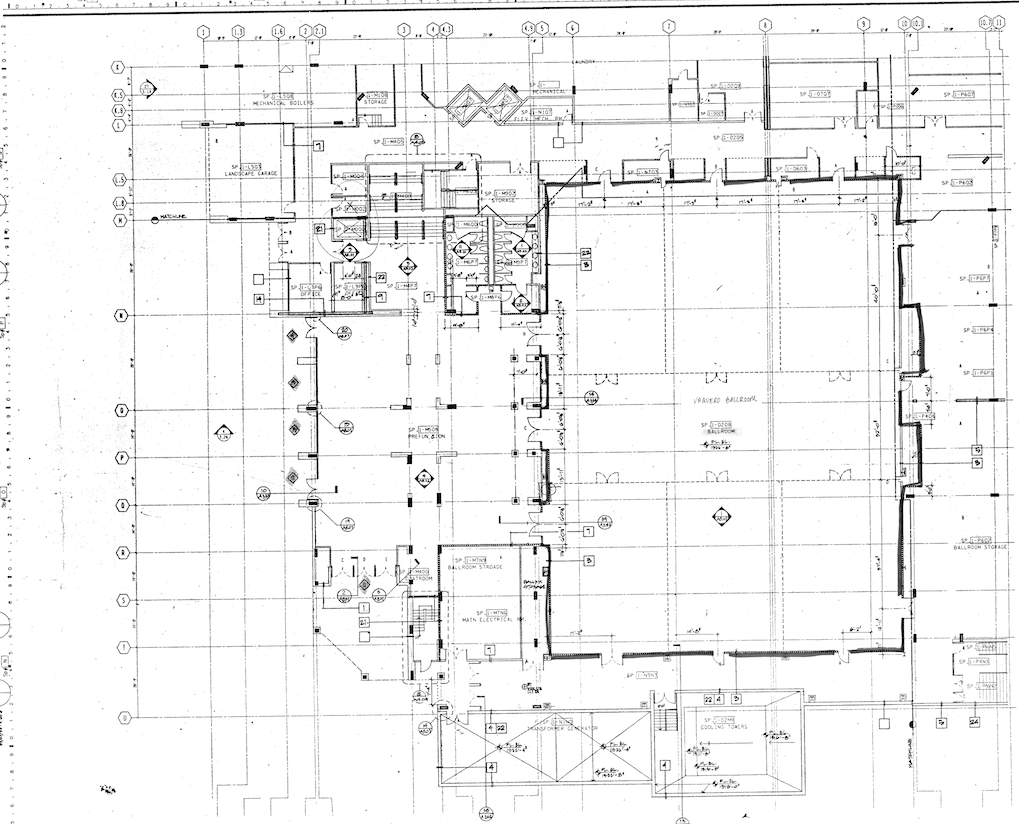
This map is hard to read because there’s simply too much detail. This would be a great map if the extra lines and text were removed.
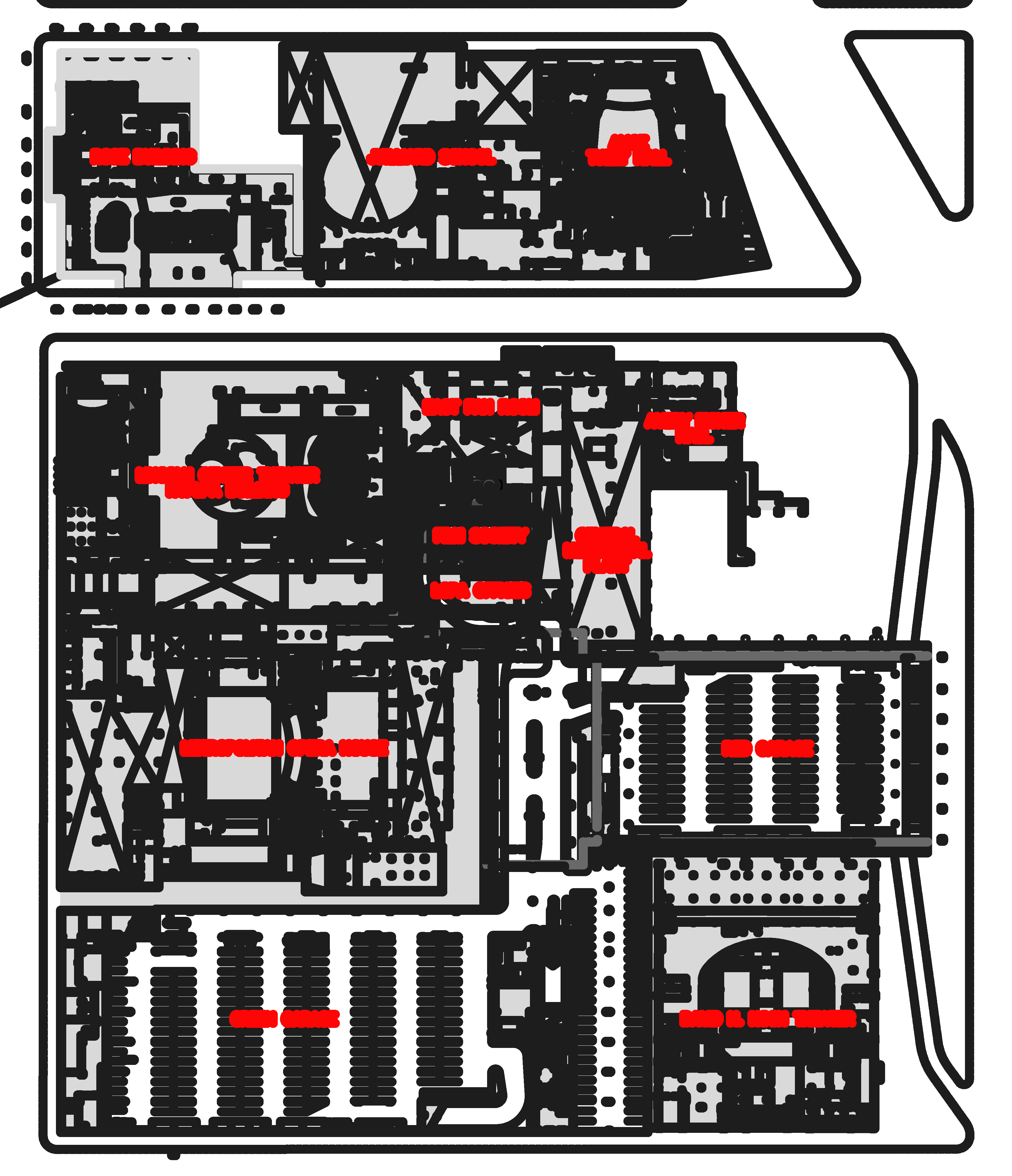
This map is hard to read at higher zoom levels because the lines are too thick. Much of the internal room detail could also be removed.
Overly Detailed Maps
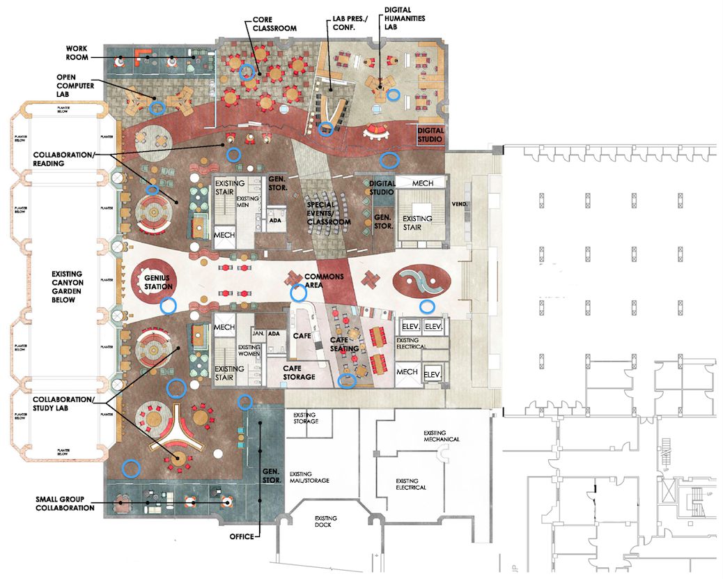
This is an example of an overly detailed map. The map is pretty, but this level of interior design detail wouldn’t work well for a map in a Meridian-powered app.
Comments
0 comments
Please sign in to leave a comment.